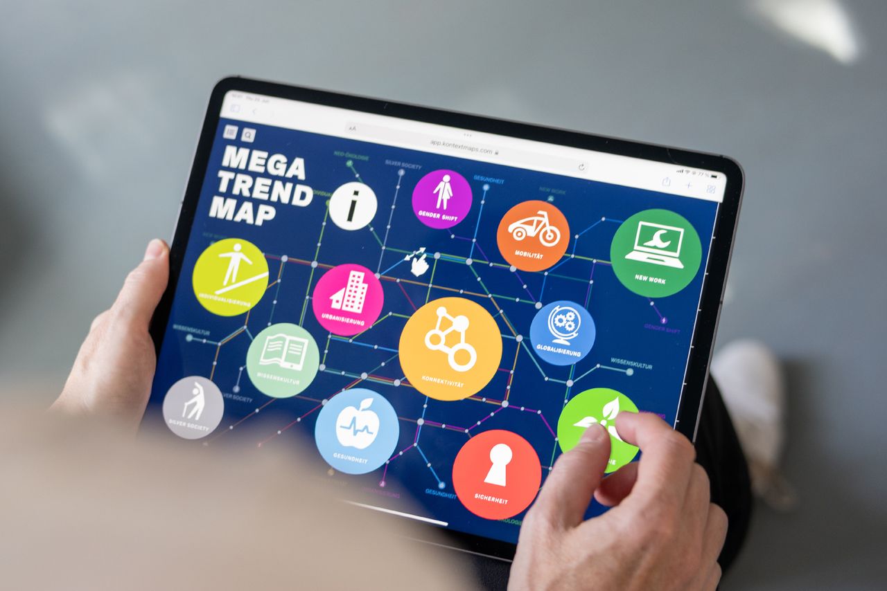
The Zukunftsinstitut researches and advises on trend and future topics. It regularly publishes the Megatrendmap, which depicts current developments in the design of an underground map.
So far, the megatrend map has only been published in its most up-to-date form in printed form. With the KontextMaps software, this was possible digitally for the first time. The Zukunftsinstitut commissioned us to depict the megatrends in a map that resembles an underground map; just as it was done before in printed form.
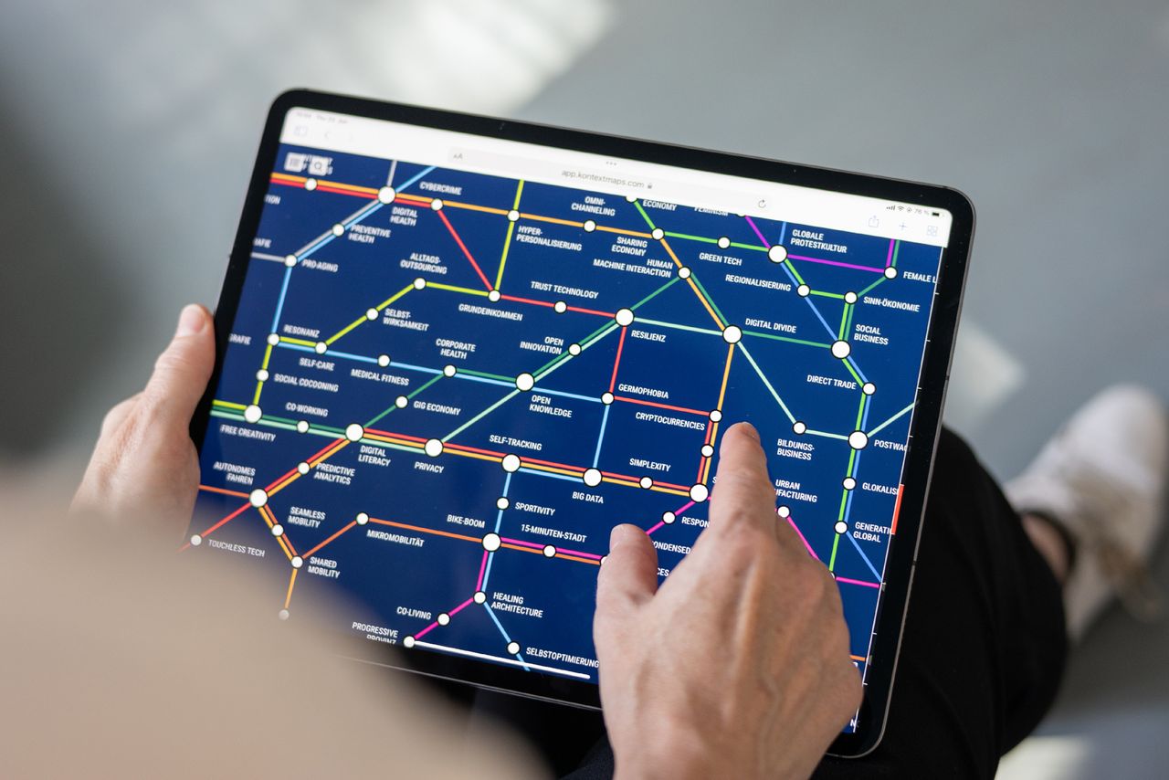
We designed the new structure, connected the megatrends with its sub-items and intersections, created the design and integrated the map into the Zukunftsinstitut shop. There it is available for purchase by clients of the Zukunftsinstitut.
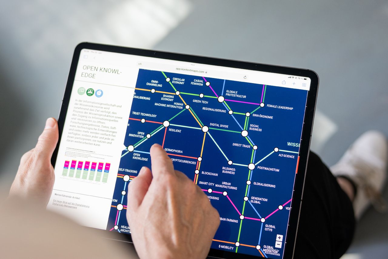
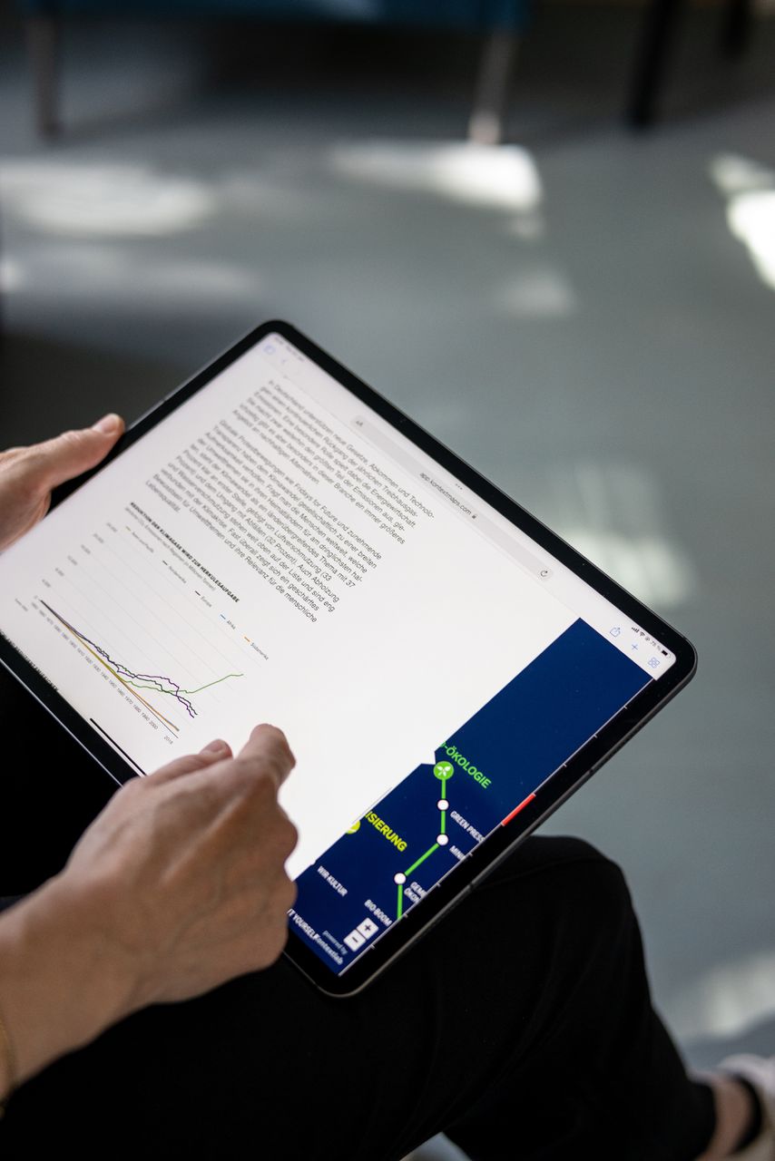
The great advantage of the digital version of the megatrend map is that, for the first time, the content can be found directly in the map. Thus, although the clear map could be explored before, the contents had to be searched for by hand in a printed magazine afterwards.
We have already repeatedly updated the digital version.
Project info
Requirements
Interactive implementation of the printed version of the megatrend map